The Quiberon Peninsula was originally an island and has been joined to the mainland by the accumulation of sand washed up by the sea. Its wild scenery - particularly impressive along the Côte Sauvage on the western side - attracts many
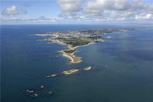 visitors. The cliffs are made up of two-mica granites. Geologists have newly interpreted the Quiberon area in the Variscan belt of South Brittany (France) as a crustal shear zone and have postulatred Carboniferous extension tectonics as evidenced by normal faults, high- and low-grade migmatites and synkinematic emplacement of the Quiberon granite pluton. Quiberon is a well-known seaside resort and has some attractive beaches on the sheltered eastern coast.
Read more about Quiberon:
- Rapid Variscan exhumation and the role of magma in core complex formation: southern Brittany metamorphic belt, France
- Armorican Massiv Geological Map
- Quiberon peninsula


 Posts
Posts